City to explore town centre mobility mapping
Published Thursday, 15th August 2024
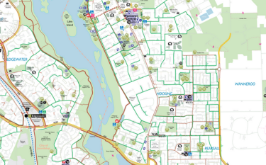
The City of Wanneroo will explore ‘mobility mapping’ at four popular town centre locations.
Following a Council meeting held this month, the City will consider the scope, cost and benefit of a mobility mapping project for inclusion in the 2025/26 Budget.
Mobility maps provide accessibility details of an area including slopes, pavement surfaces, obstacles, disabled parking, ramps and elevators, enabling people with mobility issues to make informed choices about how they will move through the area safely and as easily as possible.
Activity centres in Wanneroo, Girrawheen, Clarkson and Two Rocks will be explored as part of the project scope.
Mayor Linda Aitken said the proposal, put forward by Central Ward Councillor Jordan Wright, linked to the City's Disability Access and Inclusion Plan.
“There are thousands of people living with a disability in the City of Wanneroo who require support in their day-to-day lives,” she said.
“I welcome Cr Wright bringing this idea before council for consideration. Initiatives that ensure our City is an accessible and welcoming place for everyone are always worth exploring.
“I’m looking forward to seeing the City’s feasibility report. Mobility mapping has the potential to not only benefit residents but all of the community, as well as those who work and visit the City.”
Consultation will now be carried out with City’s Disability Access and Inclusion Reference Group and other stakeholders.
More articles in the news archive.