Wards
The City of Wanneroo is made up of 36 suburbs, ranging from Two Rocks in the north to Koondoola in the south.
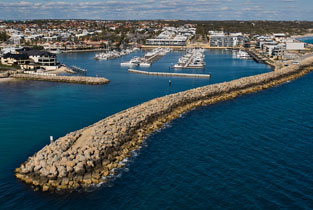
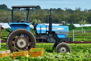
Spanning 684km2, the City of Wanneroo features coastal plains, wetlands, market gardens, bush and wineries.
The City is divided into seven wards, North Ward, North-East Ward, Central-West Ward, Central-East Ward, Central Ward, South-West Ward and the South Ward.
Map of all City of Wanneroo wards

Each ward is represented by two Councillors with an elected Mayor.
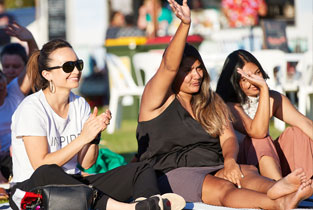
Our Council works together to create a community where residents love to live, work and recreate, where people feel safe and have access to facilities and services that help them stay active and participate. Part of this is creating a sense of belonging for our 50,000 young people, our 26,000 seniors and our immigrant population which account for around 40 per cent of the City’s total population.
Suburbs: Alkimos, Carabooda, Eglinton, Jindalee, Two Rocks and Yanchep.
Suburbs: Butler, Merriwa, Ridgewood, north Clarkson, Nowergup.
Suburbs: Quinns Rocks, Mindarie, Tamala Park, south Clarkson, Neerabup.
Suburbs: Pinjar, Carramar, Banksia Grove, Tapping, Ashby, Mariginiup, Jandabup.
Suburbs: Wanneroo, Sinagra, Hocking, Pearsall, Gnangara.
Suburbs: east Woodvale, Wangara, Madeley, Darch, Landsdale, north-west Marangaroo
Suburbs: Marangaroo, Alexander Heights, Girrawheen, Koondoola.

